Source: Câmara Municipal do Porto, All rights reserved
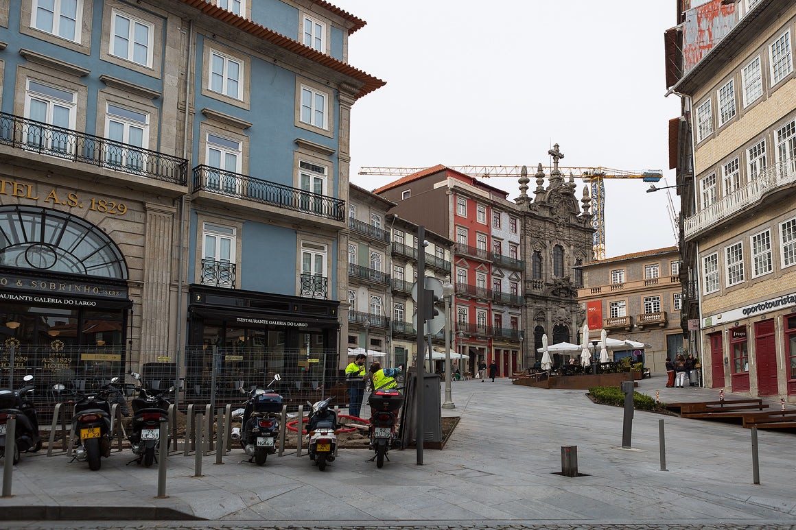
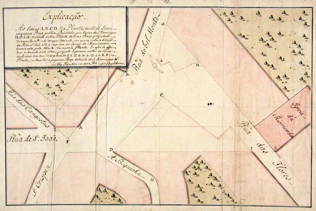
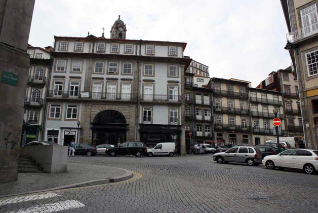
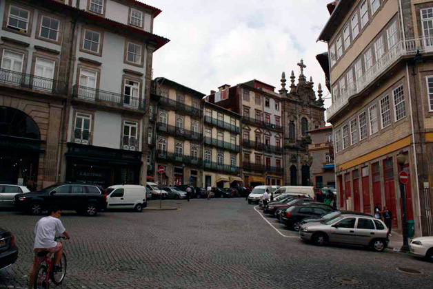
Largo de São Domingos
Roads and squares
Add to itinerary
About
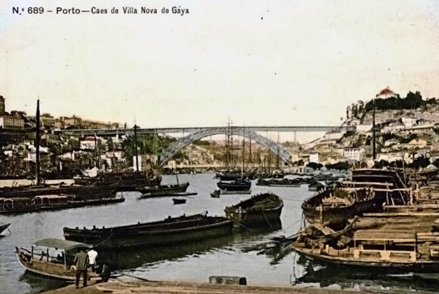
Formerly known as Terreiro or Praça de S. Domingos, it was urbanised around 1320.
Due to its strategic position at the confluence of major arteries connecting the riverside to the high part of the city, throughout the centuries it underwent important conservation and maintenance works, especially the project by John Whitehead in 1774, conducted by the Board of Public Works and financed by wine taxes.
How to Get There
Gallery
Location
{{ address }}
Nearby Points of Interest
Current civil parishes of Vila Nova de Gaia
Roads and squares

Mouzinho da Silveira street
Roads and squares
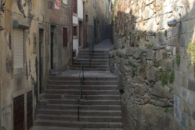
Escadas da Vitória
Roads and squares
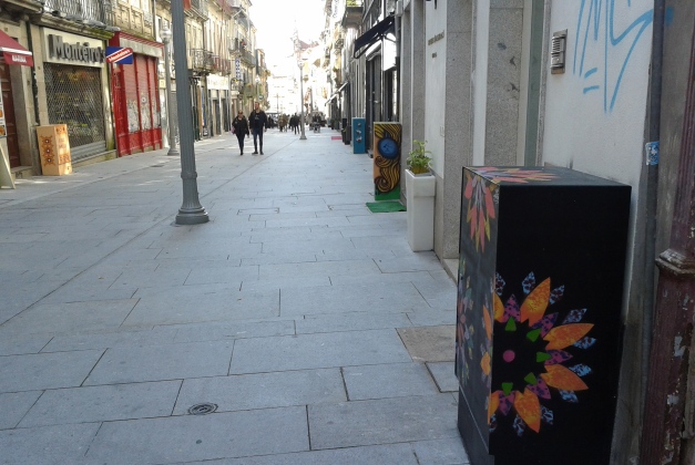
Rua das Flores
Roads and squares
See more
-
Address{{ address }}
-
Details{{ telephone }}
{{ email }}
-
Share This Page with others


-

{{ author }}
2021-07-21